Making Digital Maps of Fall Colors
こんにちは!
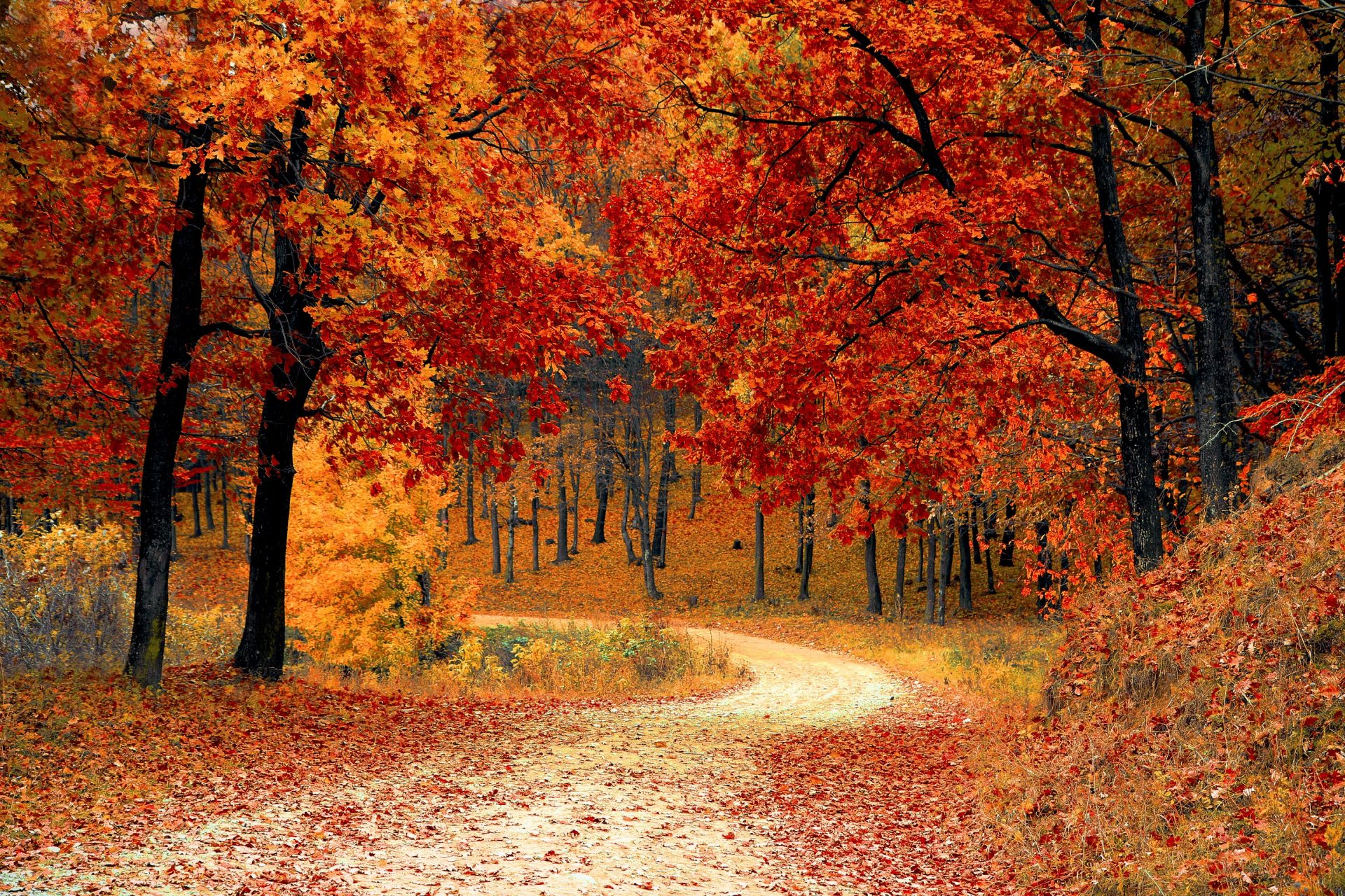
今年も紅葉を楽しんでいますか🍁
皆さんはどうして木が紅葉して落葉するか知ってますか?
生徒たちは今月の地理のクラスで、日本を含む世界中にあるいろいろなタイプの森林について学びました!
Are you enjoying the fall colors this year? (We sure are!) But do you know why trees change color and lose their leaves? This month in Geography, IPAC students are learning about the different types of forests found around the world, including those in Japan.
勝山公園を散策して、見つけた様々な種類の木と葉っぱの地図を作りました。
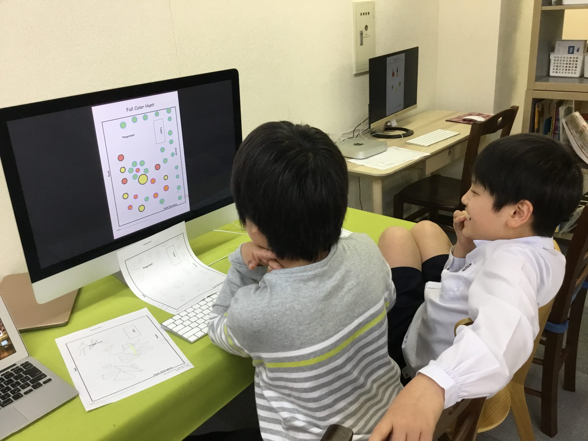
生徒たちはチームになって公園のデジタルマップに木を描いていきました。
We took a walk around Katsuyama Park last week and made maps of the different kinds of trees and leaves we saw. Then, working in teams, students plotted the trees on a PDF (digital) map of the park.
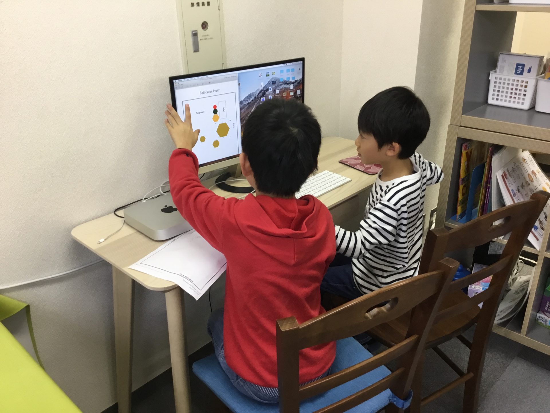
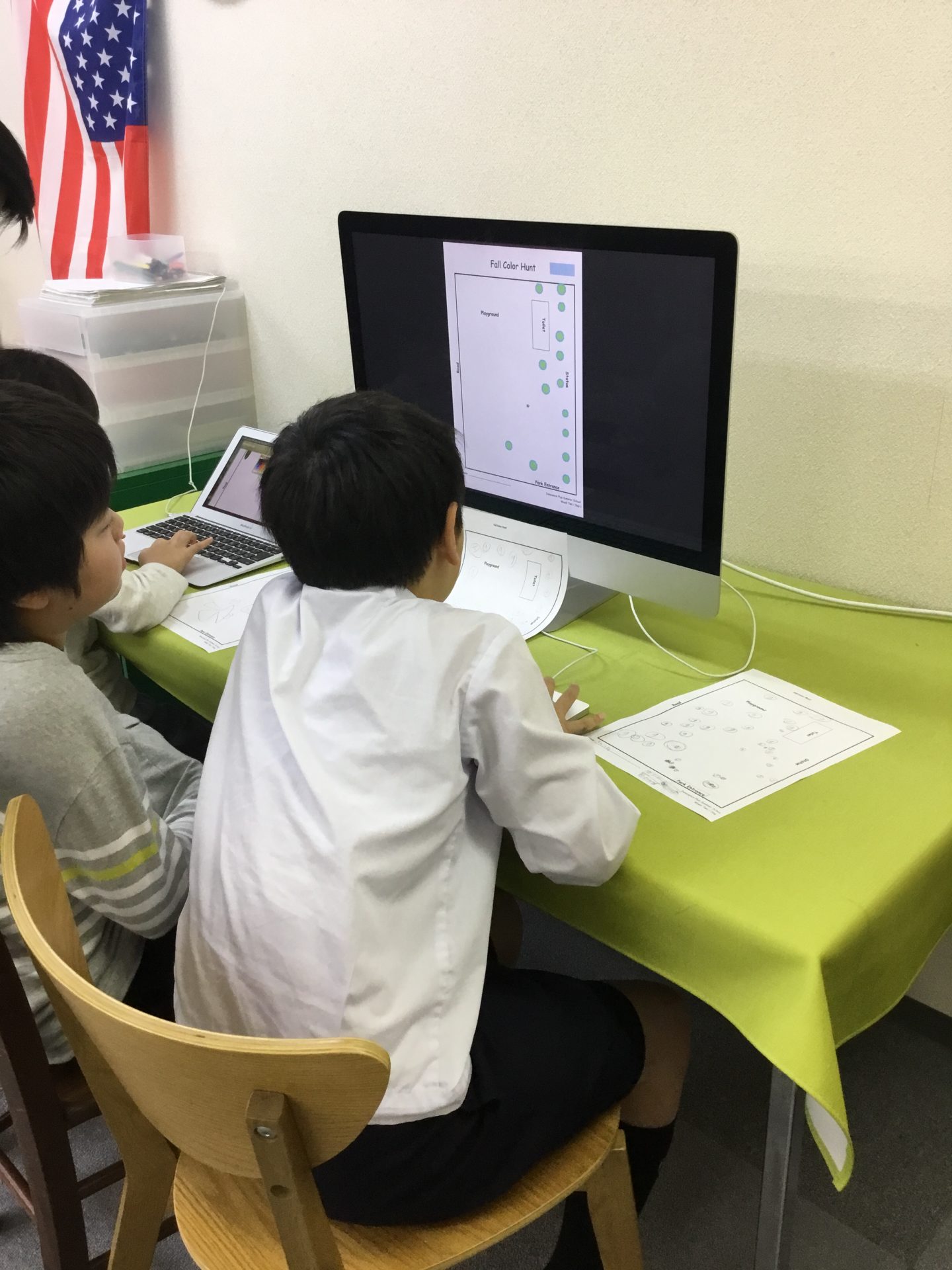
このような「ヴィジュアルを作る」スキルは、子どもたちが大学や社会人になった時に必ず必要になるものです。
プレゼンテーションを準備する時や同僚に情報を効率的にシェアする時など、このスキルはとても役立ちます。
やりがいがあって楽しい学習をしていると時間があっという間に過ぎていきます。
生徒たちは熱中してテクノロジーの学習に取り組みました🌟
Making visuals like this is a crucial skill children will need in their academic and professional careers. They can use it to prepare presentations, or share information with peers more effectively.
Tech Time just flew by this week! That’s what happens when learning is fun and challenging!